
Summer 2023 News:
Check out the video and quick facts about Landsat Next. Landsat Next | Landsat Science (nasa.gov)
Fall 2022, Dana Peterson and Jennifer Moody won 3rd place in the map gallery competition at the Kansas Association of Mappers annual meeting. Attendees voted in the competition. See the ESRI StoryMap , “Mapping Kansas Ecosystems”: https://storymaps.arcgis.com/stories/90487a54e30e4362a6ac01006241e2c2
Summer 2022, Congratulations to Kenneth Epketere who received a KansasView mini-scholarship for his work developing the Rapid Image Viewer Web Application leveraging Google Earth Engine archives. Kenneth is working with Jude Kastens to create a tool for the public, government agencies, and researchers to visualize and monitor current and historic landscape disaster related events. The WebApp consists of both optical and radar collections from Landsat, Sentinel, MODIS, and NAIP imagery. Currently the tool provides data for the U.S. and but may extend globally in future developments. The beta version of the Rapid Image Viewer WebApp: https://crystalwhite4real2015.users.earthengine.app/view/image-viewer-v1
June 2022, KansasView PI and Coordinator, Dana Peterson, had the opportunity to participate in the Ecosystems of Kansas Summer Institute, where middle-school science teachers from around the state learned how to bring geospatial data into their classrooms. Teachers competed in AmericaView’s online satellite imagery puzzles, learned about other AmericaView’s educational resources including other StateView ESRI StoryMaps, completed an ESRI GeoInquiries activity, and learned about existing Web Mapping Applications (WMA) for Kansas related data. https://nsfepscor.ku.edu/education/
Events
Pecora 2022 Conference October 24-28th in Denver, Colorado. https://pecora22.org/
Kansas Association of Mappers, October 18-21, 2022, Manhattan, KS.https://www.kansasmappers.org/confgeninfo_hotel
Kansas https://kansasmappers.org/confgeninfo_hotel
Kansas Natural Resource Conference, January 30-31, 2021 Virtual. http://www.kansasnrc.org/
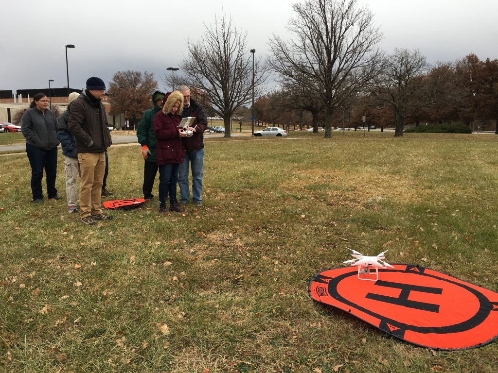
Ecology Seminar on UAS Technology, November 22, 2019, Dr. Steve Egbert, PI of KansasView, introduced drone technology to faculty and students from the KU’s Department of Ecology & Evolutionary Biology and staff from the Kansas Biological Survey as part of the Ecology Seminar Series. Egbert’s seminar covered basic flight rules, flight planning and operations, and potential mapping applications. Following the seminar, students practiced flying a DJI Phantom 4 Pro drone in a nearby area.
18th Annual GIS Day @ KU, November 13, 2019, Lawrence, Kansas http://gis.ku.edu/gisday/2019/
Kansas Association of Mappers, October 15-18, 2019, Lawrence, Kansas https://www.kansasmappers.org/event-3459365
Great Plains Rocky Mountain AAG, October 11- 12, 2019, Lawrence, Kansas https://gprm2019.ku.edu/
21st William T. Pecora Memorial Remote Sensing Symposium (Pecora 21), October 6-11, 2019, Baltimore, Maryland: Special AmericaView Technical Session: How No-Cost Landsat Data Is Reshaping College Level Remote Sensing Courses: http://pecora.asprs.org/